Bolivia facts: discover this incredible country!
Join us on a super-cool South American adventure…
Join us on a super-cool South American adventure with our fascinating Bolivia facts!
Bolivia facts
OFFICIAL NAME: Plurinational State of Bolivia
FORM OF GOVERNMENT: Republic
CAPITAL: La Paz, Sucre
POPULATION: 10,800,900
OFFICIAL LANGUAGES: Spanish and 36 indigenous languages
MONEY: Bolivian boliviano
AREA: 1,098,581 square kilometres
Bolivian flag
Map of Bolivia
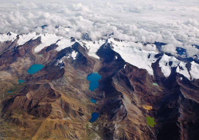
Bolivia’s landscape
Bolivia is a landlocked country in South America, bordering Brazil, Paraguay, Argentina, Chile and Peru. The west half of the country is dominated by the huge Andes mountains, with steep slopes and snow-capped peaks. Sandwiched between the Andes mountain chains is the Altiplano (a high plateau), where almost half the population lives.
In the east and north of the country the land flattens into a lowland area known as the Oriente. This region is made up of open grasslands, wetlands and dense forests, including the world’s largest rainforest – the Amazon!
Bolivia: a land of diversity
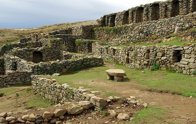
Humans have inhabited the land in Bolivia for thousands of years. During the 15th and 16th centuries, an ancient civilization called the Inca reigned over the region.
In 1538, Spanish conquistadors (or ‘conquerors’) arrived from Europe and gained control of the territory. They stayed in power until 1825, when they were overthrown by the local people, who rebelled against Spanish rule. The new leaders formed an independent country, naming it Bolivia after Simón Bolívar, the leader of the rebellion.
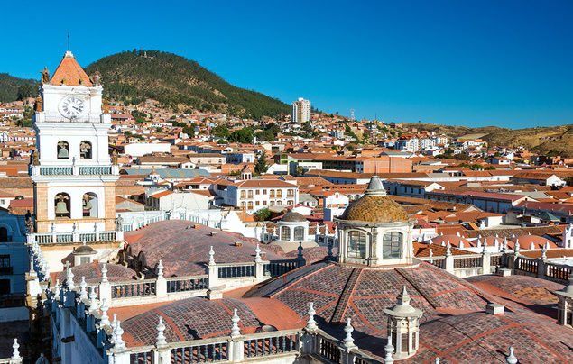
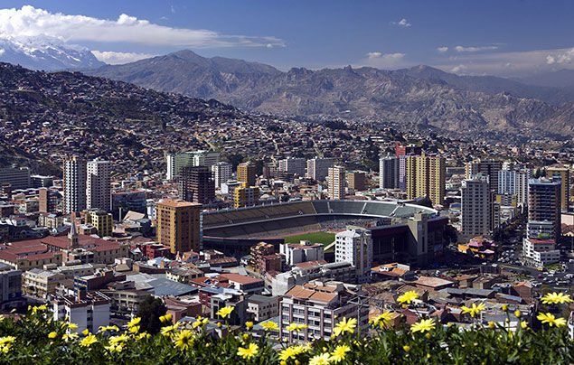
Today Bolivia is big on variety. It is home to nearly 11 million people, and has 37 official languages and two capital cities (La Paz and Sucre).
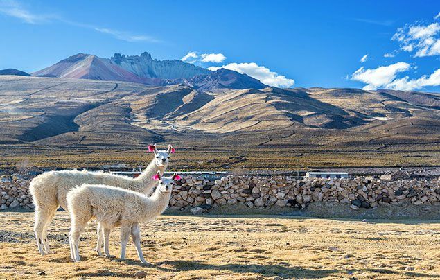
This incredible country is home to lots of amazing wildlife, too. Bolivia’s animal species include llamas, jaguars, Andean condors, caimans, sloths, piranhas and the emperor tamarin – a quirky kind of monkey that sports a moustache!
Record-breaking Bolivia!
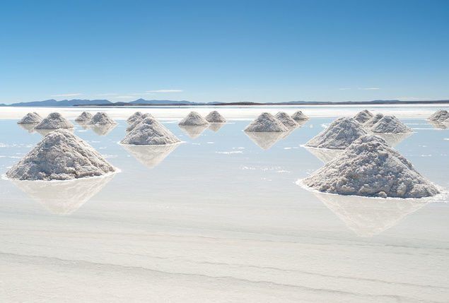
Bolivia’s land isn’t just diverse – some of its features have broken records! Located on the border of Peru and Bolivia, Lake Titicaca is the world’s highest lake that’s deep enough for a boat to sail on. Salar de Uyuni, found in the southwest of the country, is the world’s largest salt flat. And the world’s highest forest sits more than 3,900m above sea level in Bolivia’s Sajama National Park. Cool, eh?
Credits
Words adapted from feature by Angela Modany, NGS Staff.
Bolivian Flag: StargazeStudio, Dreamstime. Bolivia Map: National Geographic Maps. Bolivia Andes: Photograph by Richieji, Dreamstime. Bolivia Inca Ruins: Photograph by Shargaljut, Dreamstime. Bolivia La Paz: Photograph by Steve Allen, Dreamstime. Bolivia Lake Titicaca: Photograph by Mirekdeml, Dreamstime. Bolivia Llamas: Photograph by Jesse Kraft, Dreamstime. Bolivia Salar de Uyuni: Photograph by Chrishowey, Dreamstime. Bolivia Sucre: Photograph by Jesse Kraft, Dreamstime
What do you think of these cool Bolivia facts? Let us know by leaving us a comment, below!
More Like Countries
Say goodbye to Big Ben’s bongs!
Mexico facts: discover this fascinating country!
Amazing places to visit this summer!



LEAVE A COMMENT
THANK YOU
Your comment will be checked and approved shortly.
WELL DONE,
YOUR COMMENT
HAS BEEN ADDED!
COMMENTS
I love this country!!!
i love nat geo kids
Noice
hi
hi
hiiiiii
hi
Super cool
Amazing
#ilovebolivia
wow i like this
thanks
CUSTOMIZE YOUR AVATAR